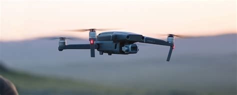
 Whitman recently added Drone Services to expand upon our current comprehensive suite of engineering and environmental services we offer to clients.
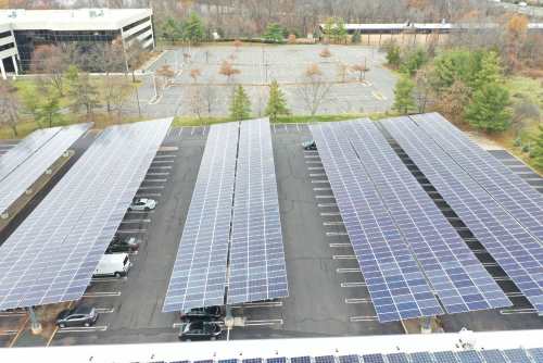
Whitman’s team of Part 107 FAA license drone pilots can conduct licensed flights at subject properties and perform data collection. The data can be used in evaluations for production of design plans, rooftop surveys, building inspections, and environmental site assessments. Our drone services can also be used for aerial photography and marketing.
Drone flight data can be processed and provided in several formats, including stitched together project overall image, videos, point cloud files and AutoCAD drawings.
Our drone services include: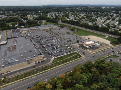
- Rooftop Existing Conditions Survey
- Solar Site Overview and Thermal Imaging
- Construction Progress Imagery
- Building Rooftop/Property Assessments
- Environmental Studies
- Advertising
Whitman provides these services for:
 Property owners and developers
- Solar development and construction companies
- Architectural firms
- Contractors
All flights are conducted in accordance with FAA rules and are led by a pilot in command.
Whitman’s team of experts is committed to delivering high-quality drone imagery to take your project to the next level.
For more information, please contact:
Carey Ruetsch
Senior Vice President of Renewable Services
FAA Licensed Drone Pilot
![]() cruetsch@whitmanco.com
cruetsch@whitmanco.com
![]() (732) 390-5858
(732) 390-5858
Posted on May 25, 2023